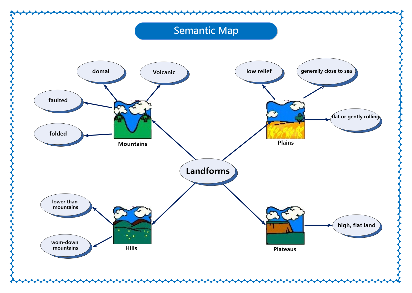
This semantic map example demonstrates different types of landforms. Studies suggest that compared to textual knowledge, students can better understand and memorize topics when they are visually represented. Semantic maps are created on this belief as they visually demonstrate complex scientific and geographical topics with visuals that help display relationships between different words and concepts.
After teaching a topic about landforms, teachers can use this semantic map to enable the students to develop a connection with the knowledge they have recently gained from the teaching. Starting with the landforms at the center, the map branches into mountains, plains, plateaus, and hills, which are further connected to various forms of land. The map helps establish a connection between different landforms and displays how they are all related and the categories they belong to.