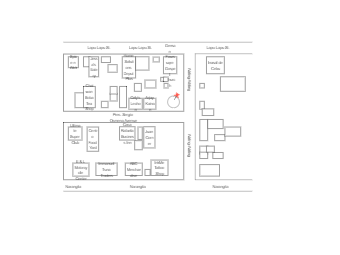
Here is a vicinity map of Sergio Osmena Avenue. A vicinity map is a type of map that shows the relationships and relative locations of different places or features in a specific geographic area. This template typically includes the surrounding areas in relation to the Sergio Osmena Avenue, such as shop, food yard, business inn,etc. Vicinity maps are often used in urban planning, real estate, and tourism to provide a visual representation of the layout and relationships between different areas of a city or region.


 Desktop