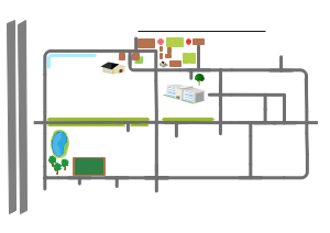
A directional map is a type of map that shows the direction and distance between two or more locations. It typically includes a starting point, a destination point, and one or more intermediate points or landmarks, along with the routes or paths that connect them. This template presents the vicinity of a school which surrounding by warehouse, residential buildings pond, etc. If you need to create a location map, you may find a selection of templates in the EdrawMax templates library.