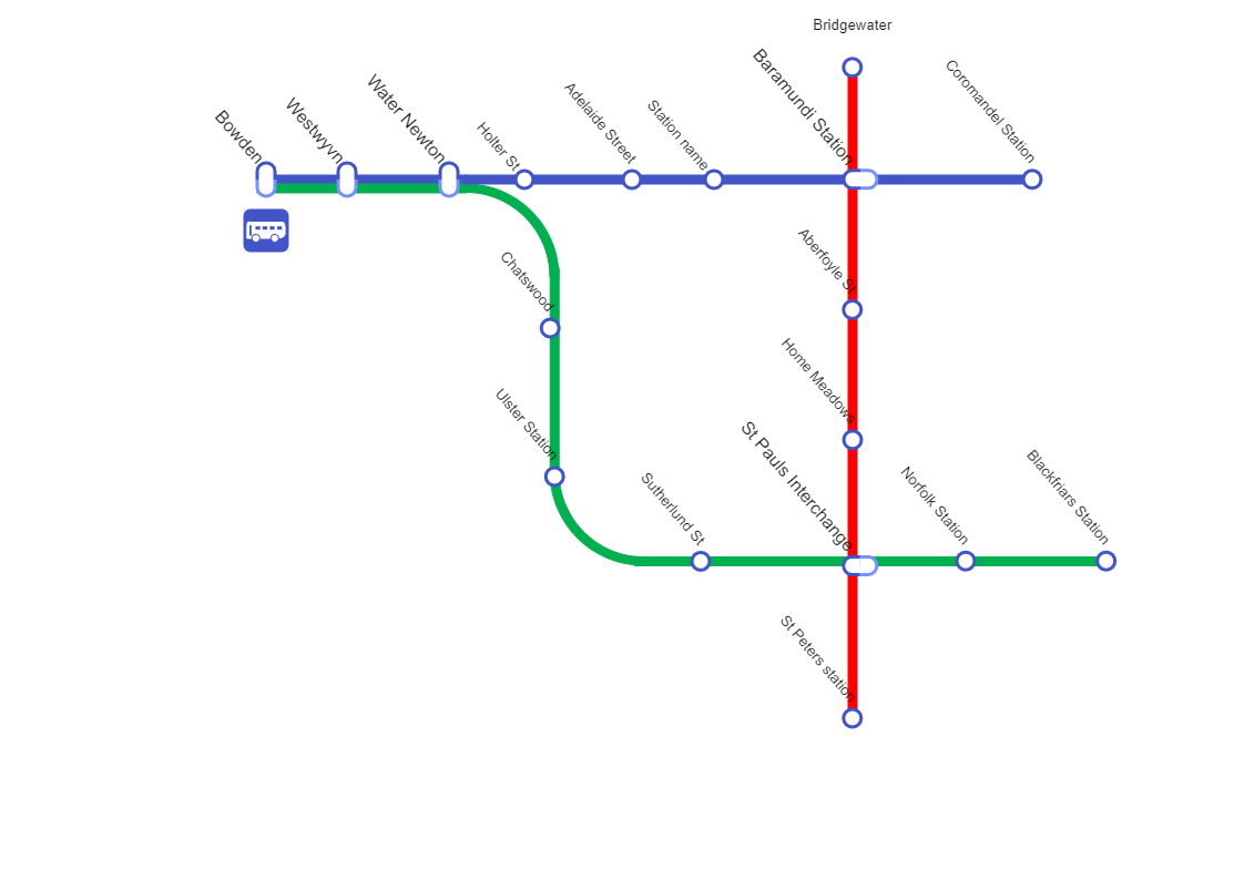
Bridgewater Subway is an underground railway system used to transport large passengers within urban and suburban areas. It should be noted here that a Bridgewater subway map shows how the subway lines are crooked rather than perfectly straight, reflecting the actual geographic layout of the lines. The map also includes the layout of major city streets in grey to help a viewer understand the placement of the lines. As the below map illustrates, Bridgewater subways are usually a bit under city streets for ease of construction, but they may take shortcuts depending on demographic factors. A similar-looking subway map can be designed using EdrawMax Online. The free map diagram lets you import the required images from your system or Google Drive.