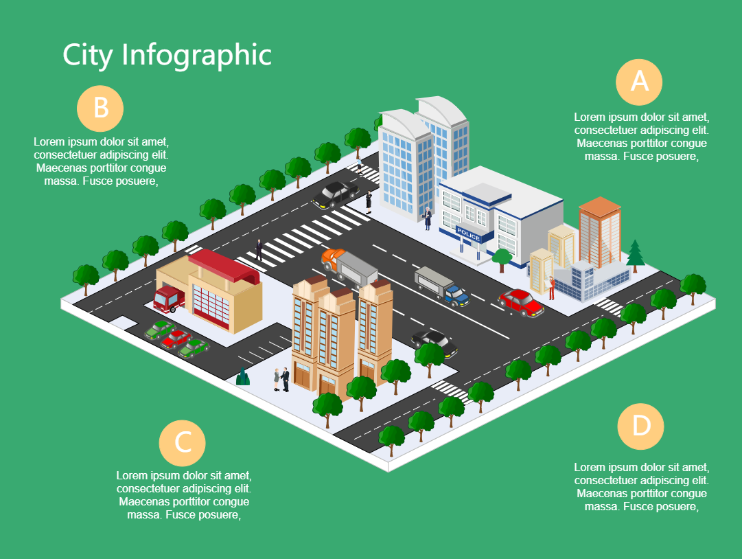
An isometric city infographic gives an accurate mathematical description of the various physical infrastructures present within the four boundaries of urban space. Special symbols are used to indicate institutions of administrative medical, and educational nature. The religious institutions are marked by zig-zag lines in an isometric city infographic. This infographic is especially useful in marketing real estate properties so that customers can visualize what exactly they are buying from the builder. The existence of roads can also be provided with clarity in an isometric city infographic. The local municipal authorities ensure that all infrastructures are properly represented. Travelers across the globe can use an isometric city infographic to identify places of historical interest. Identification of transport facilities is one of the important areas which is indicated in an isometric city infographic.


 Desktop