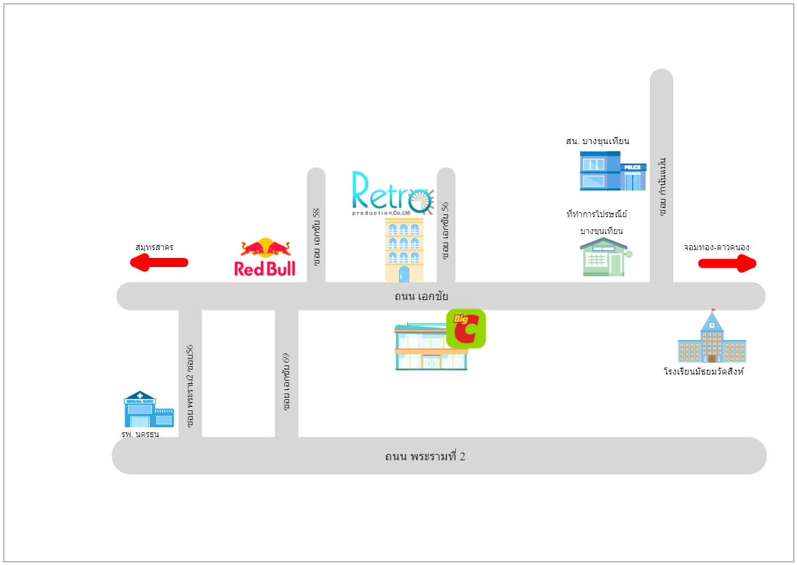
Here's a local directional map. Highways, parkways, crossroads, road and street signage, routes, train lines, transit terminals, rivers, and buildings are examples of transportation and mass transit forms used in a directional map. The goal of such a map is to make it easier for your guests to locate you. You may make a directional map for your building, business, or venue using EdrawMax. Make your guest delighted rather than annoyed. The map may be saved as a vector SVG file that can be printed on brochures, city lights, and periodicals.


 Desktop