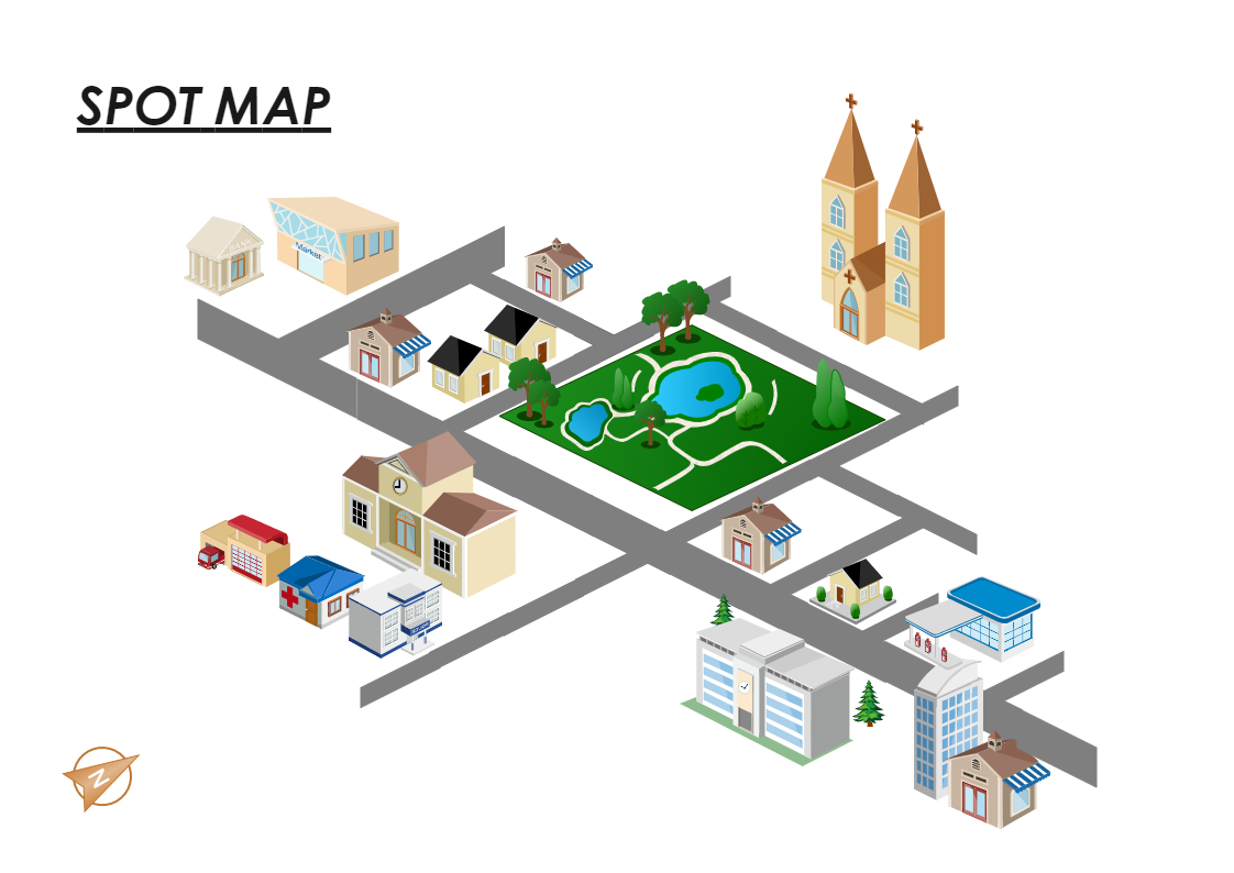
A directional map is one that is made up of transportation and mass transit forms such highways, parkways, junctions, road and street signage, routes, railroad tracks, transit terminals, rivers, and buildings. Directional maps are frequently used by travelers to find their way to certain locations. Millions of travelers use these maps to discover towns and cities all around the world. Searching for addresses on a map, viewing neighboring businesses, and getting driving instructions are just a few of the functions of directional maps. EdrawMax software lets you construct a variety of directional maps. Using specific vector stencil libraries, you can quickly display city maps or locations with driving instructions and traveler information.


 Desktop