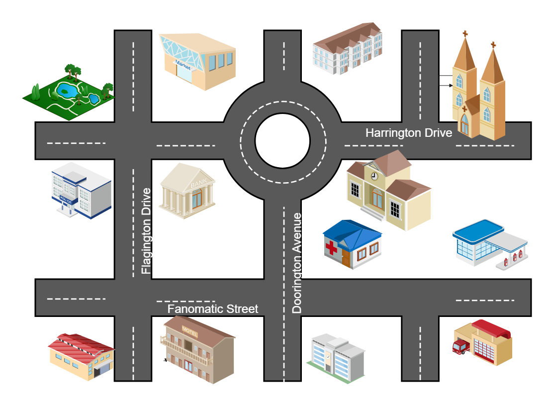
A directional map is one that is made up of transportation and mass transit forms such highways, parkways, junctions, road and street signage, routes, railroad tracks, transit terminals, rivers, and buildings. The goal of such a map is to assist your visitors in locating you. You can use EdrawMax to create a directional map for your building, store, or venue. Make your guest joyful rather than annoyed. The map may be saved in vector SVG format for use on brochures, city lights, and periodicals. Open your thoughts to new possibilities and develop your own method of utilizing EdrawMax.


 Desktop