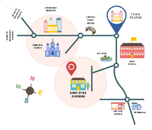
This is an illustrated map, a visual representation of a town designed to provide a quick reference to various locations within a specific area. It uses symbols and color coding to differentiate types of buildings and services, such as religious sites, government buildings, parks, schools, and businesses. Illustrated maps are commonly used in tourist guides, local directories, and navigation aids for both residents and visitors to understand the spatial arrangement of a town's key features.


 Desktop