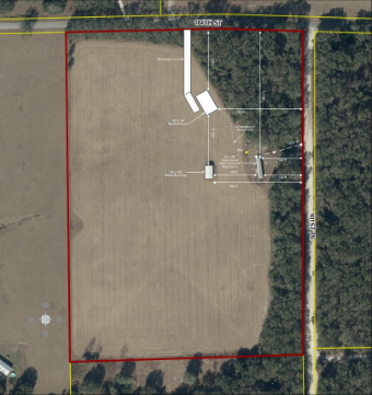
This rural property site plan template is a professional, editable vector diagram created with EdrawMax, designed to visualize and document large-scale agricultural, residential, or mixed-use rural land parcels. Based on a real-world 40+ acre rural property layout, this template includes all key site elements: perimeter boundary lines, road access, driveway connections, existing building footprints, utility infrastructure (underground power lines, well location), and precise dimensional annotations to scale. It is an essential tool for real estate agents, landowners, agricultural planners, architects, and surveyors who need to create clear, accurate site plans for property listings, land development, agricultural management, or regulatory compliance.


 Desktop