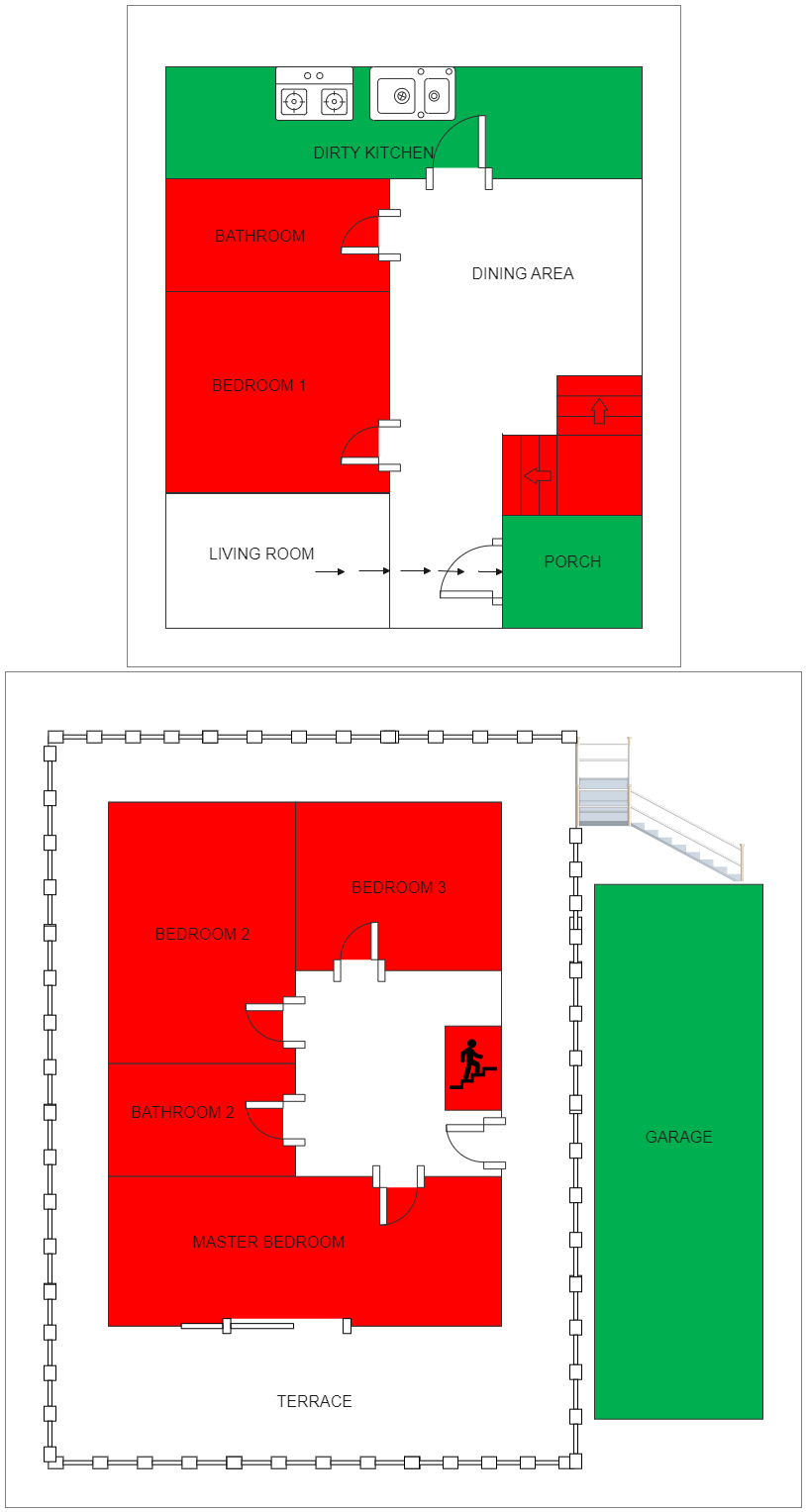
The image below is an example of an Emergency Resource Map for a two-story building. Take a closer look if you need to build an Emergency Resource Map in the event of a calamity like a fire or an earthquake. The term "emergency mapping" refers to the development and use of maps, either paper or digital, before to, during, and after disasters and calamities. While "hazard and risk mapping" portrays dangers and risks before to an event, "emergency mapping" aids in response and relief efforts. It would be hard to manage an emergency without maps. In an easy-to-understand format, emergency maps convey vital geographical information for preparation and response. EdrawMax will show you how to produce a faultless design in a matter of minutes. Sign up now!