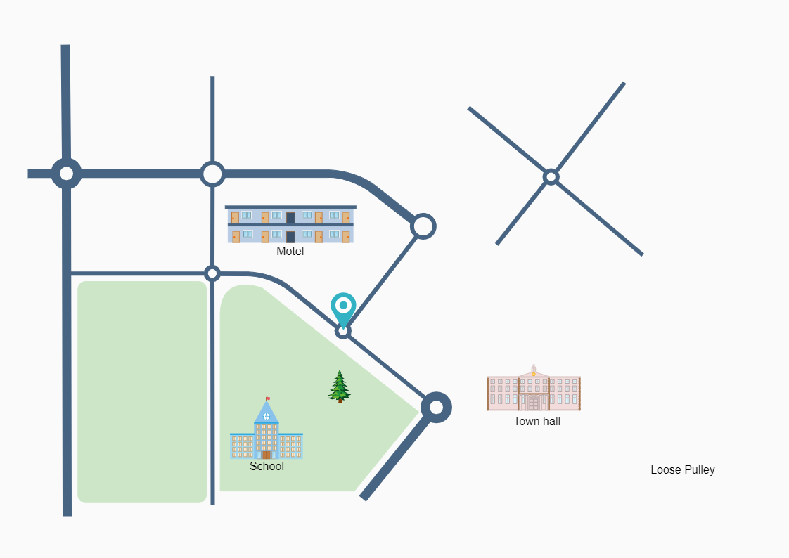
This is an example of how to depict important landmarks on a directional map. Directional maps, also known as location maps, are specialized maps that illustrate how to get from one area to another in the simplest possible way. Directional maps are frequently used by travelers to find their way to certain locations. Millions of travelers use these maps to discover towns and cities all around the world. Directional Maps Solution is used to construct directional, location, site, transit, and road maps to depict international, business, and other important locations. You may use EdrawMax to generate a directional map for your building, business, or venue. The map may be saved in vector SVG format for use on brochures, city lights, and periodicals.


 Desktop