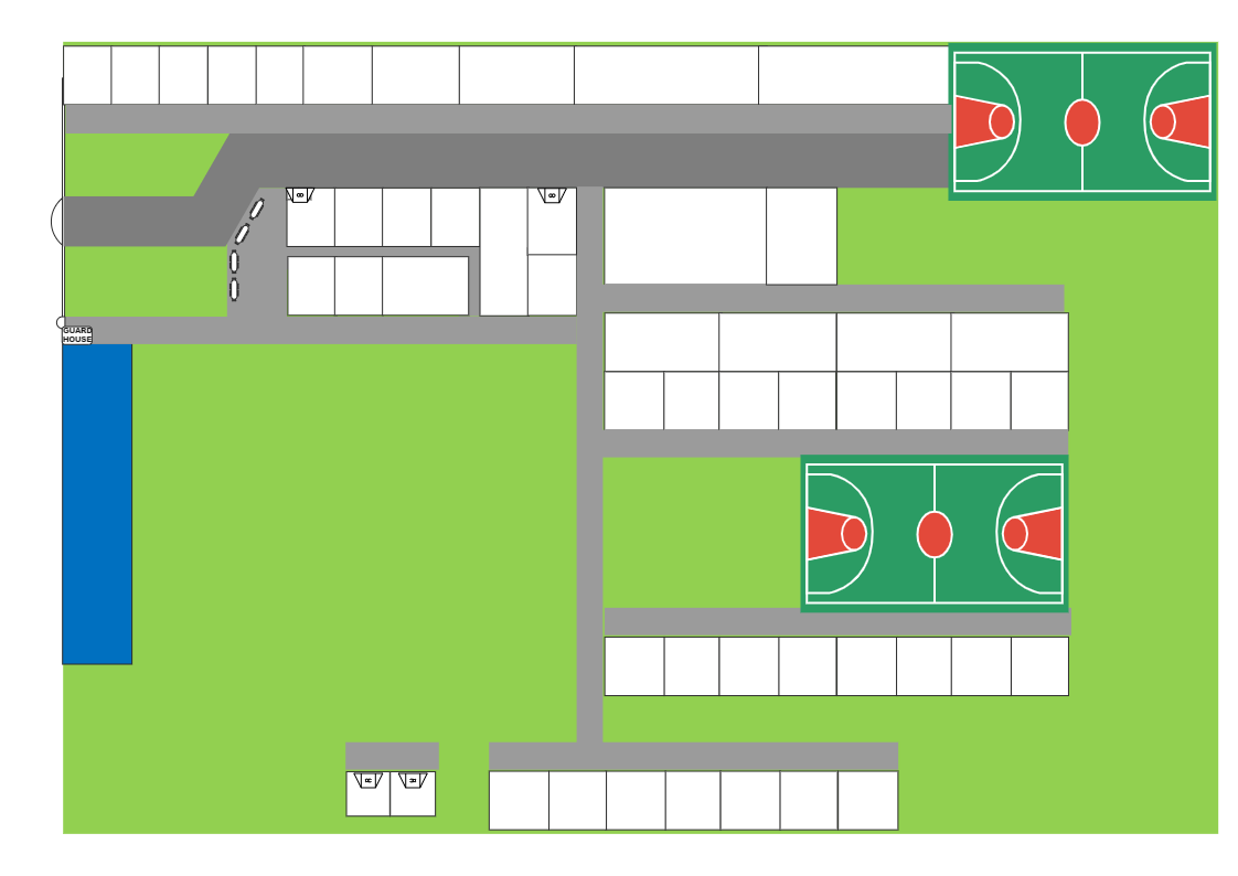
This is an illustration of how to show significant landmarks on a directional map. To be more specific, this map shows the location of different places in the school by using directional map. Directional maps, also known as location maps, are specialized maps that assist you discover a certain place by clearly demonstrating how to get from one point to another. Travelers always utilize directional maps to make their way to their destinations. A large number of tourists utilize directional maps to explore towns and cities all around the world. The Directional Maps Solution is used to create directional, location, site, transit, and road maps for international, business, and other essential areas. EdrawMax may be used to create a directional map for your building, business, or venue. The map may be saved as a vector SVG file to be used on brochures, city lights, and publications in EdrawMax.